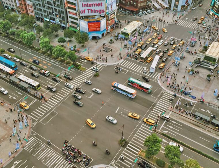
Here’s something shocking… A recent report revealed that smart traffic management could save 4.2 billion man hours worldwide annually by 2021. If that happened, it would mean that every motorist in a crowded city would save roughly one full working day per year.
Transportation data, the focus of most smart city initiatives, is helping city leaders use technology to alleviate traffic congestion, improve mobility and create safer roads. That’s a good thing and motorists in traffic congested cities hope that relief is on the way soon.
Cities used transportation data in the past for planning and decision-making but the data that was collected was usually outdated by the time planners received it. The technology was not there to collect traffic data in real time.
All that has changed and traffic data is now collected in real time and the Internet of Things (IoT) is changing cities so rapidly that most citizens are not even aware of the changes.
 The IoT enables the collection, storage, analysis and use of real time data. For example, one city project in Ontario, Canada, is using real time traffic data to create algorithms that regulate traffic lights.
Another city – Columbus, Ohio – is about to install an IoT-connected transportation network that will respond to sensors deployed along 50 miles of roadway, at 175 traffic signals and on 3,000 vehicles. When complete, the project will allow emergency vehicles to have priority at all intersections. The real time data received from the sensors will signal traffic light changes as emergency vehicles approach. Pedestrians and motorists will be protected at intersections.
Cities are also launching innovative technology solutions to provide better circulation routes on roadways with high truck traffic. Oregon Metro in Portland hopes to deliver freight priority at signalized intersections on Columbia Boulevard, which is a freight corridor and a vital link between North Portland and I-5.
In 2018, the Ohio Turnpike and Infrastructure Commission plans to experiment with variable highway speed limits based on road and traffic conditions detected by computer sensors. Many motorists will support that concept.
Cities are even using transportation data to make infrastructure repairs more effective. Digital monitoring of streets uses real time data collection to assess infrastructure quality and prioritize needs. Some cities are doing it through vehicle-monitoring systems, and here’s how that works. Street data is collected from city-owned vehicles that have sensors and other technology attached to them so that they can transmit road data to a central location. The vehicles have GPS technology, tire pressure sensors, cameras, radar and microphones which gather road data cheaply and effectively. Cincinnati turned to this form of digital monitoring to monitor and prioritize repairs to streets that had fallen in disrepair.
From monitoring traffic congestion to planning and prioritizing future infrastructure projects, the IoT (which really means the collection of massive amounts of real time data) is changing cities like nothing has in the last few decades. Smart cities are evolving and citizens and taxpayers will reap the benefits for generations to come.
